Municipal
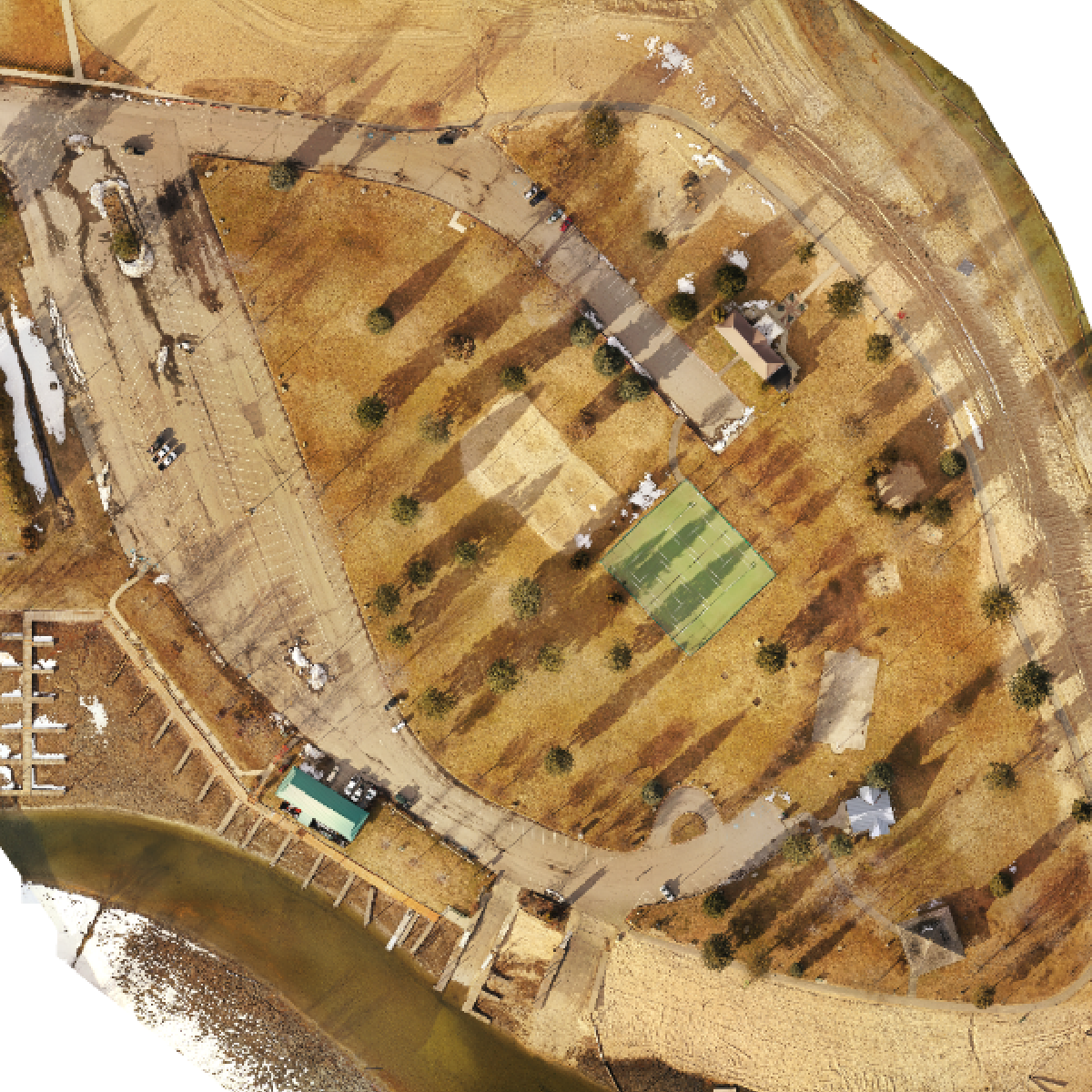
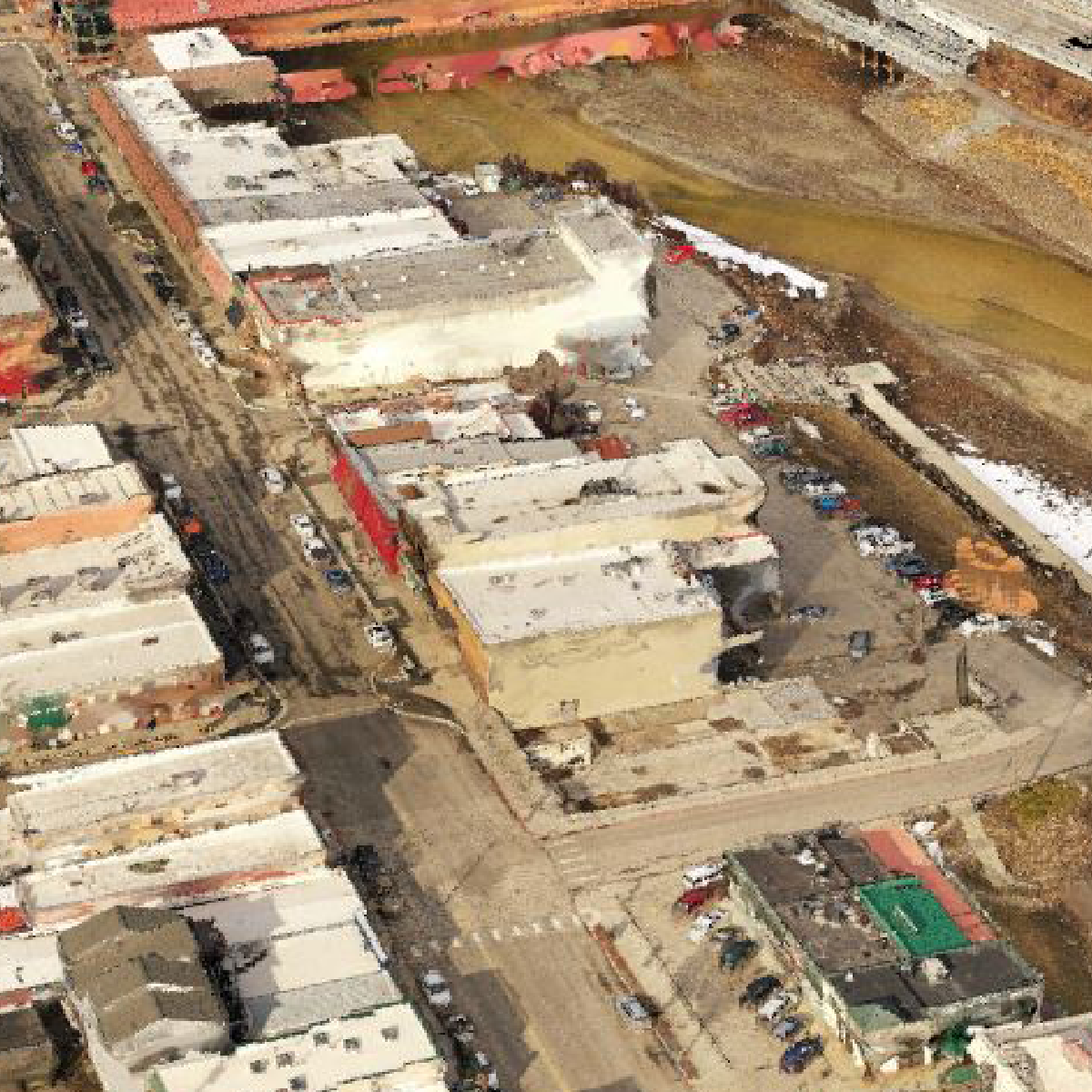
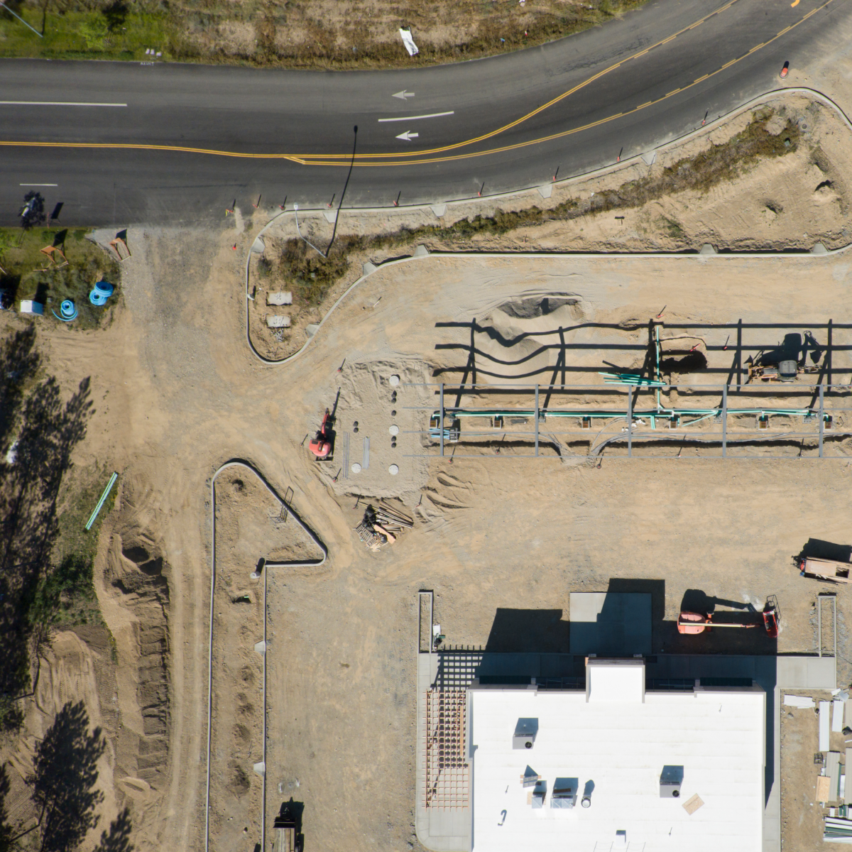
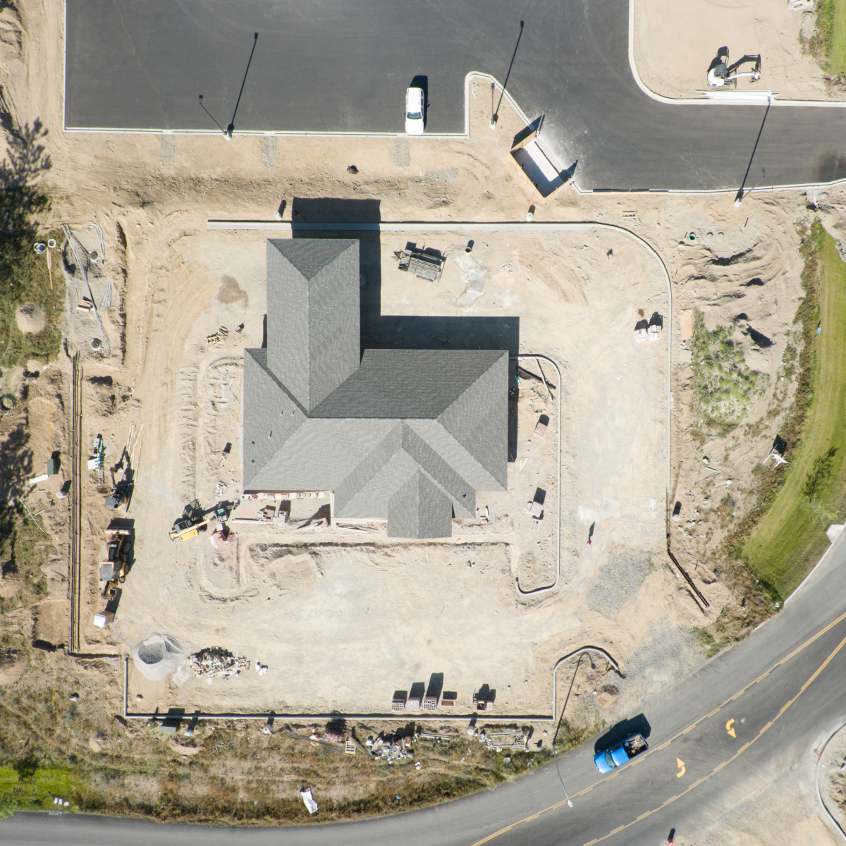
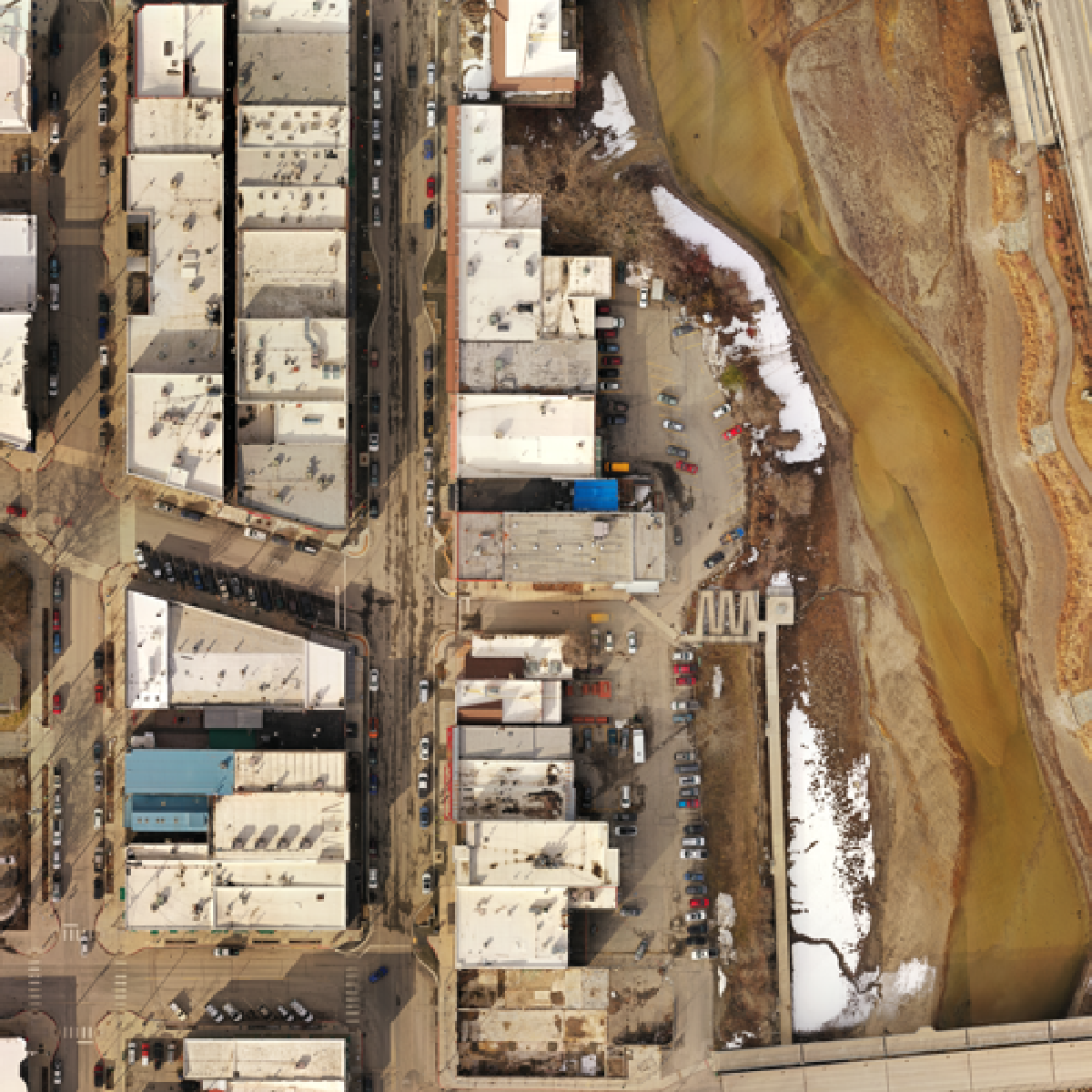
Empire Unmanned can work with municipalities on a wide range of aerial mapping, survey and GIS data services. We can provide your city or township leadership with the data they need before, during and after projects. We have a host of payloads that include high-resolution still images and videos, multispectral, hyperspectral and lidar technologies.
More News about Municipal Planning Services
Digital Twins, LiDAR and SLAM – New Technology for the Ancient Science of Urban Planning
If you drive through the old parts of Athens, London, Prague, Rome or Istanbul, you understand some of the limitations of urban planning with a limited toolset. Hippodamus of Miletus, ancient Greek architect, mathematician, philosopher, and meteorologist, is credited...

