Construction
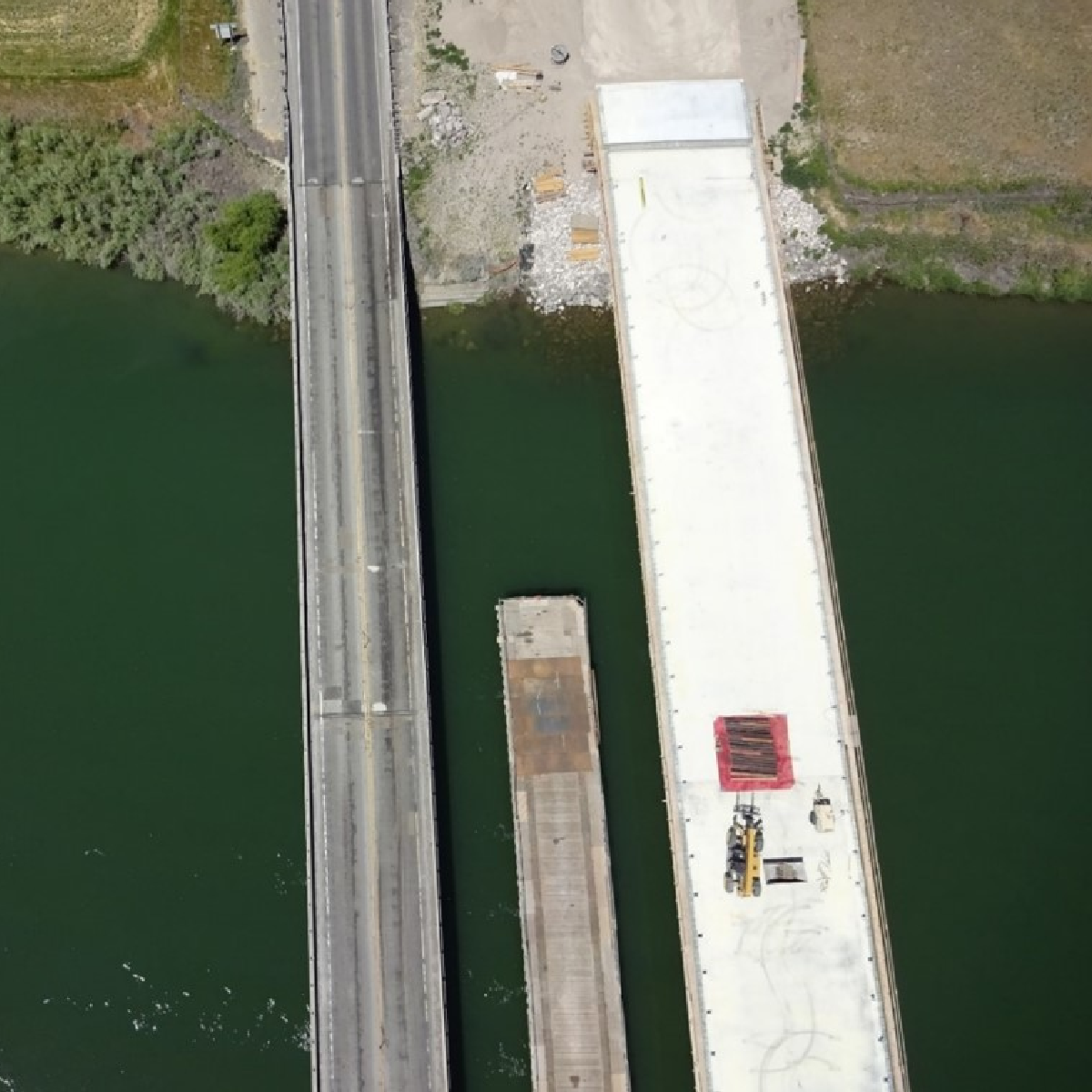
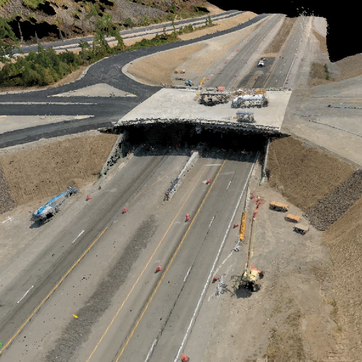
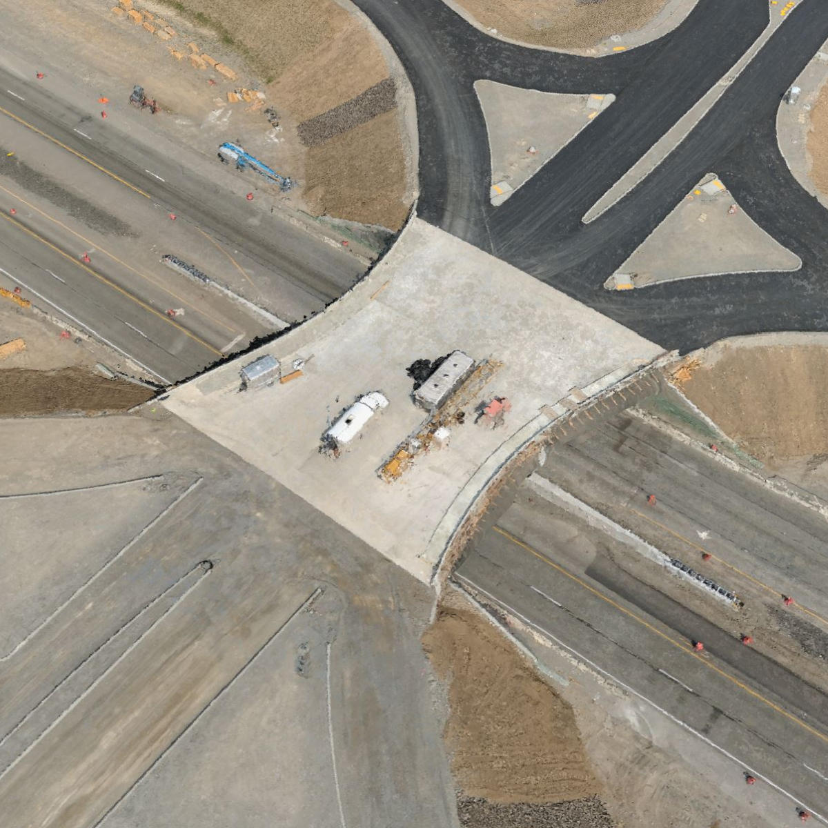
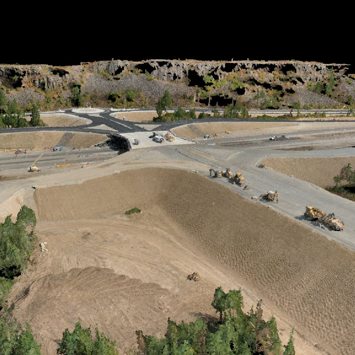
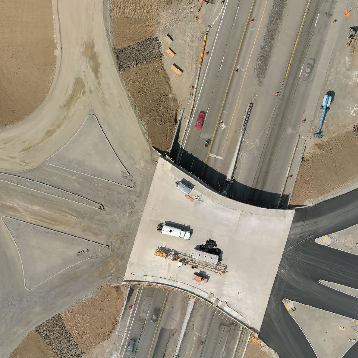
Empire Unmanned is the best at providing aerial mapping and survey data for construction projects. When teamed with your civil engineers, we can provide survey quality imagery and other GIS data products for your project managers. We utilize Aeropoints Ground Control Points (GCPs) or checkpoints for quick, inexpensive georectification of our aerial imagery. We have partnered with several construction companies over the years on a wide range of projects.
Empire Unmanned excels in aerial mapping and survey data for construction, collaborating with civil engineers to deliver high-quality imagery and GIS products. Our use of Aeropoints GCPs ensures efficient, cost-effective georectification, enhancing project accuracy and timelines. With a history of successful partnerships in the construction sector, we bring unparalleled expertise and innovation to every project.
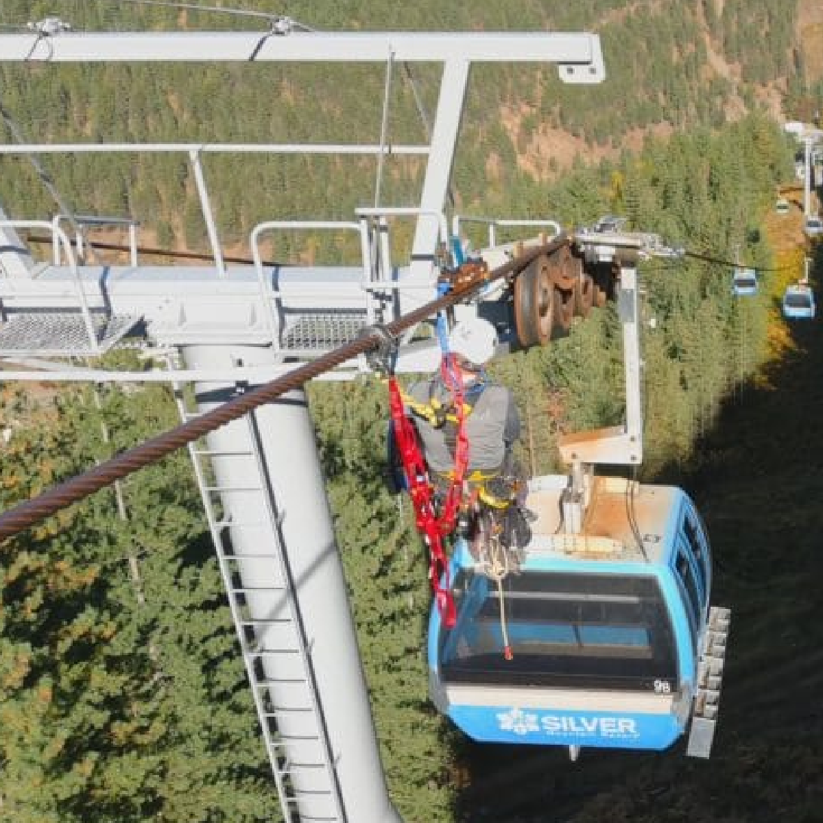
Cascade Rescue Company hires Empire Unmanned for Training & Demo Footage
FOR IMMEDIATE RELEASE Contact: Jeff Williams, President & Senior Pilot(808) 675-1650jlwilliams@empireunmanned.com Empire Unmanned was hired by Cascade Rescue Company of Sandpoint, Idaho, to provide aerial imagery of a training and demonstration event held...

